Grieston Quarry
Geological Conservation Review site | GCR #1999 | Stratigraphy | Llandovery
Geological Conservation Review site | GCR #1999 | Stratigraphy | Llandovery
Scotland's geosites are chosen because of their local, national or international importance. Take only photos, leave only footprints: avoid causing any damage to this site. You can walk almost anywhere in Scotland without the need to ask permission or keep to paths, but you have a responsibility to care for your own safety, to respect people's privacy and peace of mind and to cause no damage.
This site is a Site of Special Scientific Interest (SSSI). It is an offence to intentionally or recklessly damage the protected natural features of a SSSI, and this includes unauthorised sample collection.
The right of access does not extend to quarries, building sites or any land where public access is prohibited, or to the collection of geological samples.
Grieston quarry has been used for building slates for centuries, ceasing in mid-19th C. The slates were formed from Silurian (~438Ma) marine sediments, that were deposited by repeated turbidity flows down continental shelf slopes into deeper seafloor environment. This process formed many thin graded beds that have been tilted and folded over geological time. Some of the mud beds contain graptolites, now recognised as important bio-stratigraphic markers.
This locality shows graptolite-rich lower Silurian rocks, and has been an important site for graptolites since the initial reports by Nicol in 1848
It is a classic and important graptolite locality within the Southern Uplands, having fauna of local and international importance for biostratigraphy and correlation of the Lower Silurian Period.
It is the type locality for the graptolite Monociimacis griestonensis, the index species of the griestonensis Biozone within the global standard stratigraphy for the Silurian Period.
The diverse graptolite fauna of the site contains a number of species, such as Monociimacis drepanoformis, not recorded elsewhere.
The quarry also shows a representative section in the Upper / Late Llandovery greywackes for this part of the Southern Uplands, where these are otherwise poorly exposed.
This, and the graptolite fauna, make this site significant in correlating Silurian age rocks, and in elucidating Llandovery palaeogeography.
From the minor B7072 road between Peebles to Traquair, at Howford farm, turn South along a farm track. Park at the Scottish Water Treatment site entrance, with spaces for 2/3 cars.
Please keep gate entrance clear for access.
From this track, a marked footpath branches to the right, through a gate and across to the quarry (NT 316 539) in 200m. Through another gate, a short, but rough and steep route, into the quarry is immediately to the left, along the fence line. Or a slightly longer, more gradual approach uphill, by following the track around and over loose stoney ground again to the left.
The quarry site covers 1.74ha, the steep walls rising 15-30m high, extend 43m rising back into the hillside.
Into the quarry, the approach ground to the worked faces is covered in very loose spoil of broken slate that can be unsecure and slippery in wet weather. The quarry has been invaded by scrub trees and generous bramble cover that could hinder approach and view when in full summer foliage. A dry, winter or spring-time visit might be preferred.
https://earthwise.bgs.ac.uk/index.php/Heriot_and_Innerleith…
McAdam, A.D., Clarkson, E.N.K. and Stone, P. eds., 1992. Scottish borders geology: an excursion guide. Scottish Academic Press.
https://sitelink.nature.scot/site/748
Grieston Quarry SSSI
https://www.palass.org/sites/default/files/media/publicatio…
For detail of graptolite fauna: Toghill, P. and Strachan, I., 1970. The graptolite fauna of Grieston Quarry, near Innerleithen, Peeblesshire. Palaeontology, 13(4), pp.511-521.
The lower cliff sections on the South side are the most accessible.
Nichol (1850), and later Toghill and Strachan (1970), then Trewin (1979) all identified graptolite horizons in the lower levels within 3.7m of the base. Another graptolite level was indicated 21-24m higher.
Although these fossiliferous horizons were not readily observed.
The steep quarried faces form cliffs that are not secure, and loose rocks may detach and fall. Keep a safe distance and consider helmet head protection if approaching.
The cliffs faces range from 15-30m high and should not be approached from above.
The quarry floor is inclined, and the loose slate spoil is unstable – great care should be taken.
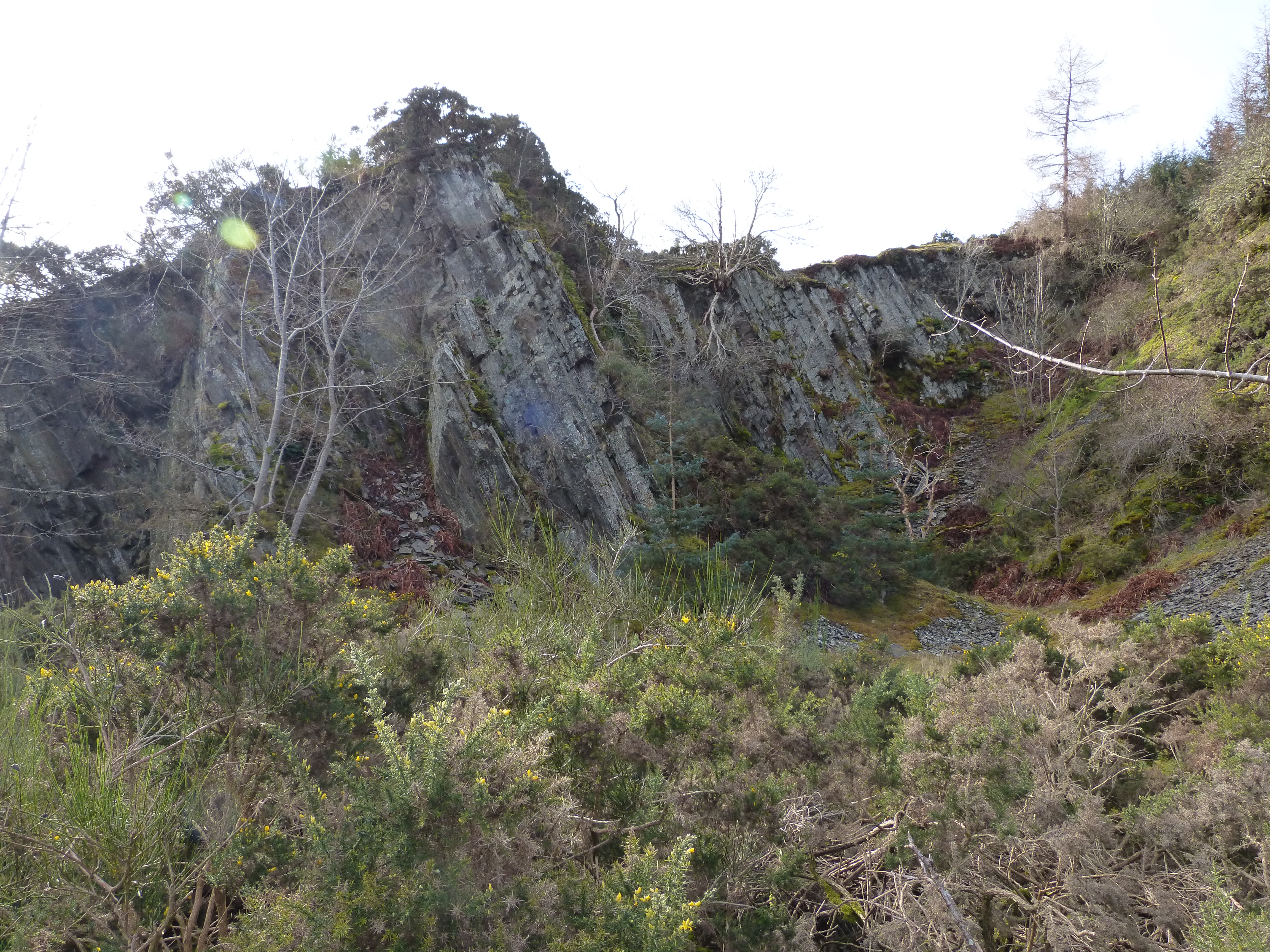
NT 31355 36179
Overview of Quarry looking South-West (bearing 220).
Showing the steep quarry wall (15-30m high) on the left (South) that dips 60-65°to NW,
John Robson
Feb. 29, 2024
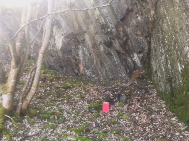
South Quarry wall, Lower section
A green colour to fresh rock can be noted, with cleavage at about 30° to the bedding, which is dipping 60°.
Many small-scale sole marks are visible on loose material.
John Robson
Feb. 29, 2024
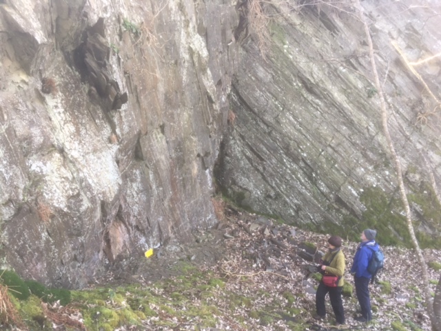
South Quarry wall, Lower section
John Robson
Feb. 29, 2024
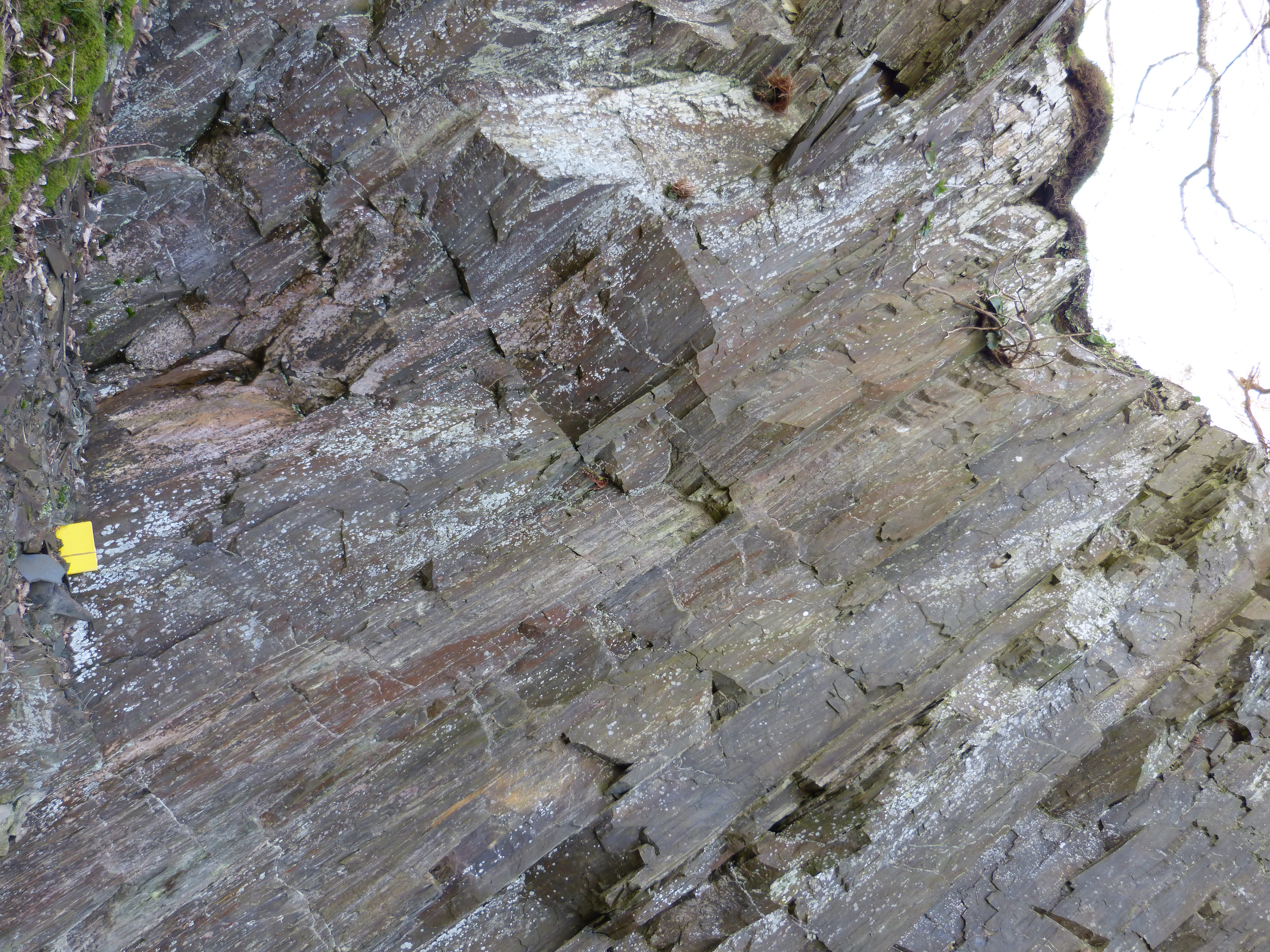
South Quarry wall, Lower section
A green colour to fresh rock can be noted, with cleavage at about 30° to the bedding, which is dipping 60°.
For scale: note book 20 cm long
John Robson
Feb. 29, 2024
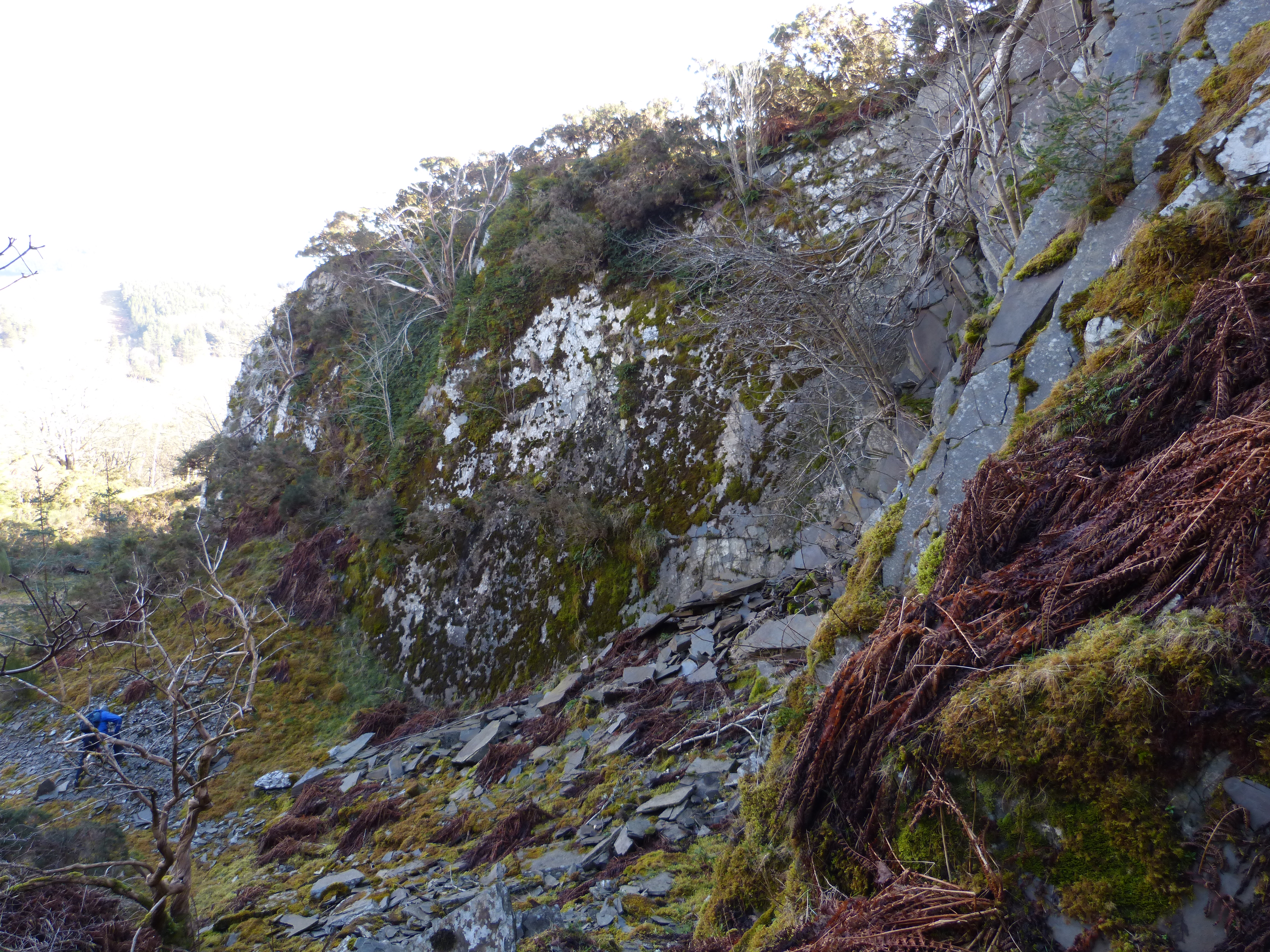
Top of quarry, looking down to main face
For scale : Figure in blue jacket bottom left
John Robson
Feb. 29, 2024