Kinloch Laggan Road
Geological Conservation Review site | GCR #854 | Structural and Metamorphic Geology | Dalradian
Geological Conservation Review site | GCR #854 | Structural and Metamorphic Geology | Dalradian
Scotland's geosites are chosen because of their local, national or international importance. Take only photos, leave only footprints: avoid causing any damage to this site. You can walk almost anywhere in Scotland without the need to ask permission or keep to paths, but you have a responsibility to care for your own safety, to respect people's privacy and peace of mind and to cause no damage.
This site is a Site of Special Scientific Interest (SSSI). It is an offence to intentionally or recklessly damage the protected natural features of a SSSI, and this includes unauthorised sample collection.
The right of access does not extend to quarries, building sites or any land where public access is prohibited, or to the collection of geological samples.
The Kinloch Laggan Road GCR Site contains the type locality for the Kinlochlaggan Boulder Bed, which represents one of a number of boulder beds containing extrabasinal clasts within the Dalradian succession. The boulder bed occurs within a conformable stratigraphical succession that can be correlated with the Lochaber Subgroup of the Appin Group. It lies beneath a significant intra-Appin Group unconformity in the local succession where the upper parts of the Lochaber and lower parts of the Ballachulish Subgroup are absent. The clasts of extrabasinal granite, together with quartzite, semipelite, pelite and feldspar at Kinlochlaggan are interpreted to have been ice-rafted and therefore indicate a glacial influence. The site is of national importance in demonstrating the earliest recorded glacial influence within the Dalradian. When combined with the Port Askaig Tillite and the boulder beds in the upper parts of the Dalradian, it demonstrates a repeated glacial influence during Neoproterozoic and Early Palaeozoic times.
A layby on the N-side of the A86 by Kinlochlaggan village hall [NN 5464 8976] will take 4-5 cars. An outcrop uphill behind the hall has subvertical Appin Group Kinlochlaggan quartzite and psammite, the approach is rough and overgrown. On the roadside, ~ 60m to the east, are glacially scoured quartzite and psammites. This type locality including the ‘Boulder Bed’ is weathered, with covering of moss and lichen. Further east is a disused lime kiln at [NN 5483 8973].
https://webapps.bgs.ac.uk/data/MapsPortal/map.html?id=11116…
BGS map 1:50.000 63E Dalwhinnie solid 2002
OS maps:
1:50,000 SHEET NO: Landranger Series 34 Fort Augustus
1:25,000 SHEET NO: Explorer Series OL55 Loch Laggan & Creag Meagaidh
https://earthwise.bgs.ac.uk/index.php/Grampian_Highlands_Fi…
Grampian Highlands Field Guide. Author: J R Mendum, BGS Day 5: Kinlochlaggan
Take great care on the busy main road! No footpath. Hi-viz advised.
There are no site highlights yet.
The roche moutonnée at Cromra - type locality for the Kinlochlaggan Quartzite Formation.
Daniel Burgess
Nov. 4, 2023
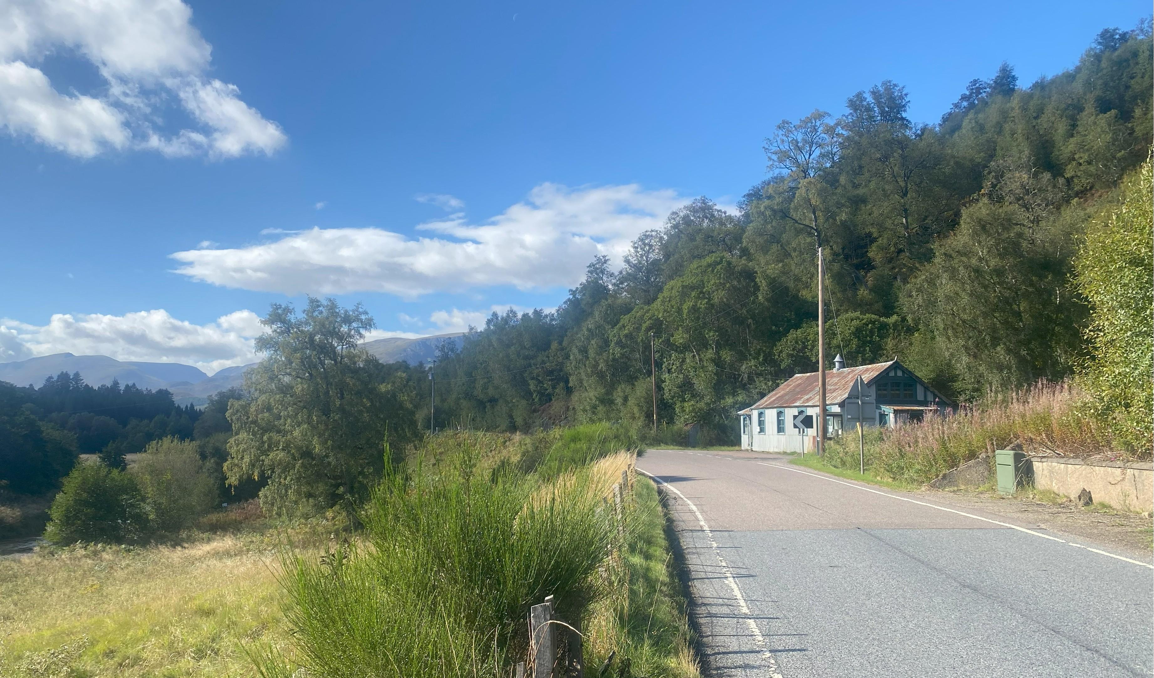
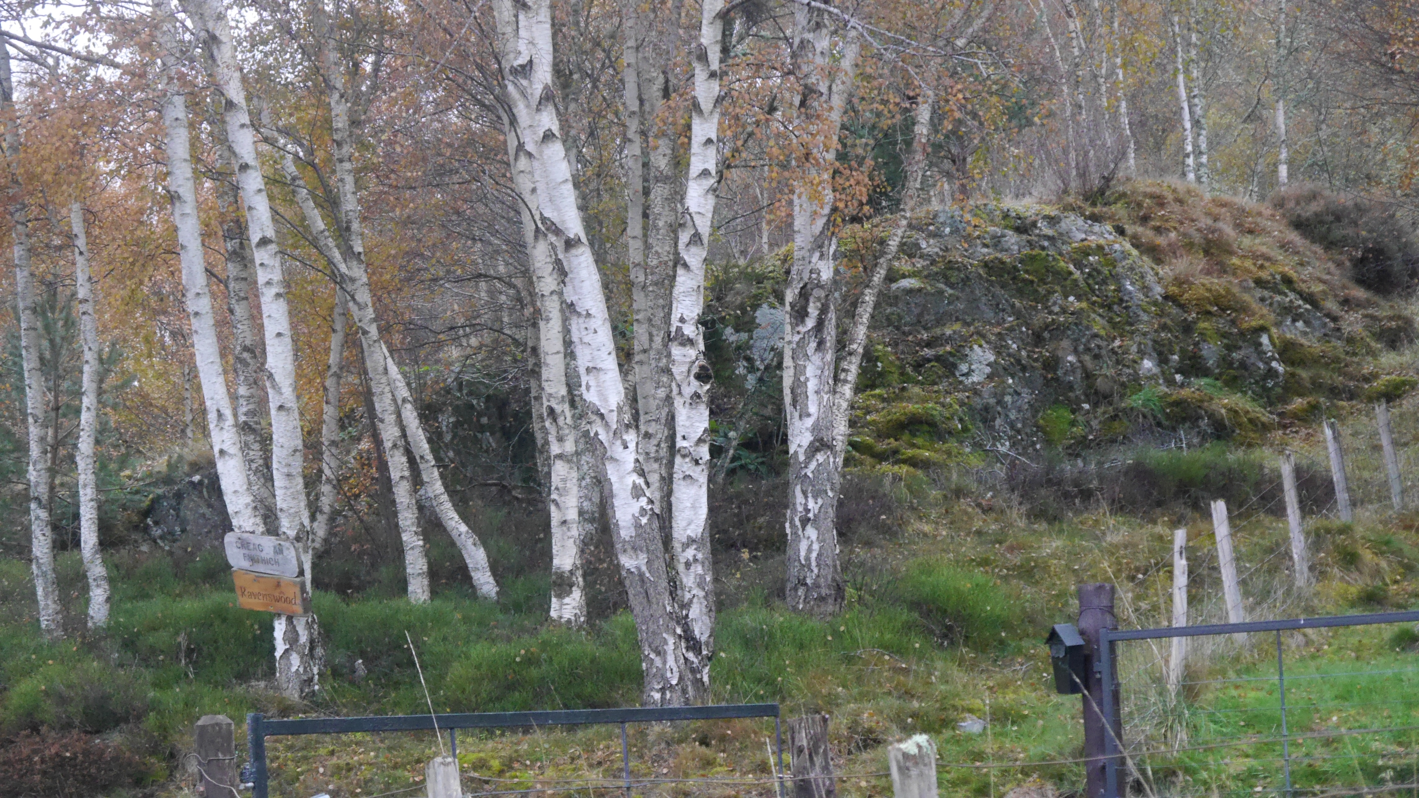
Layby in front of village hall on N side of A86
John Robson
Sept. 15, 2025
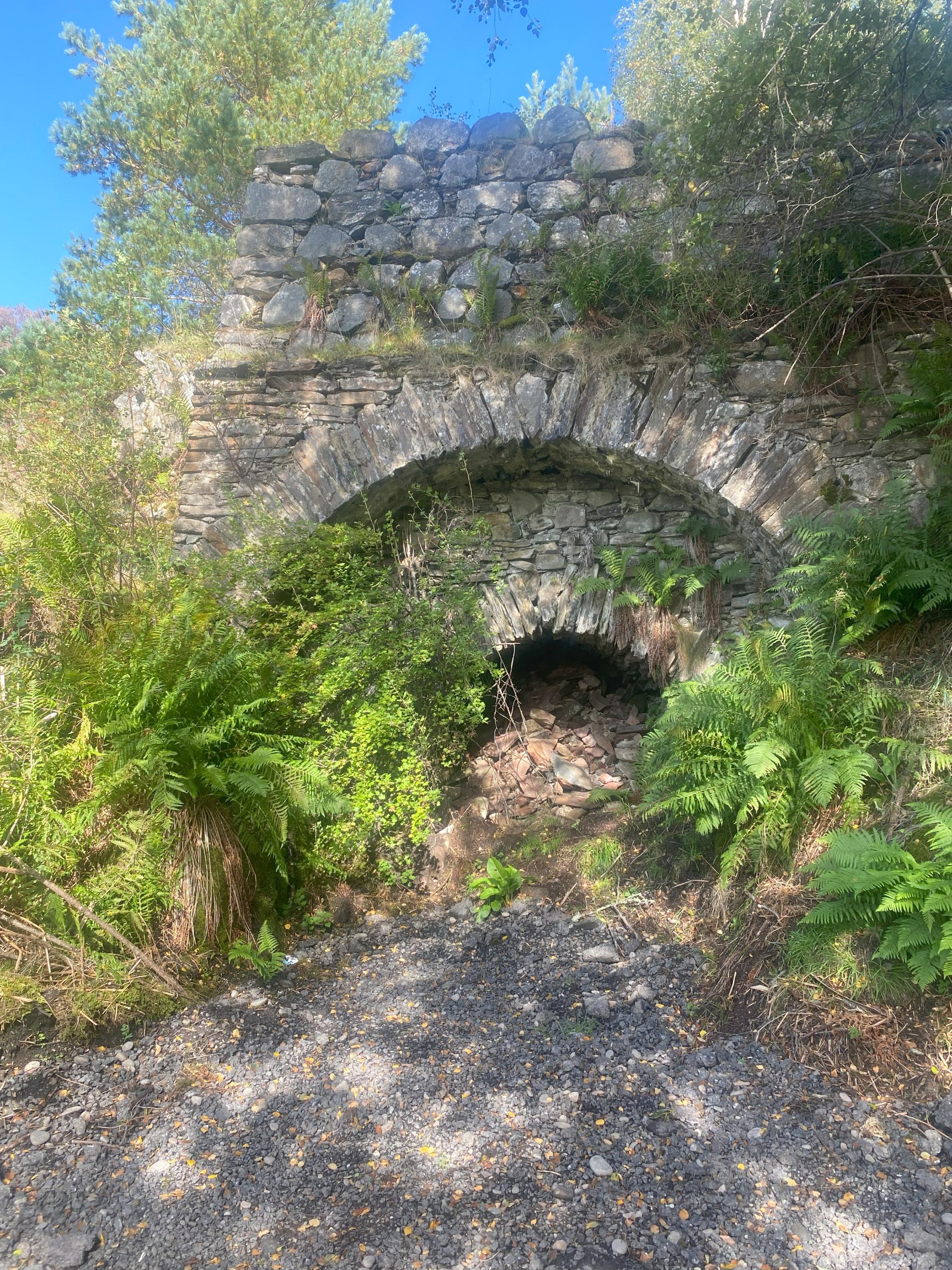
Dis-used lime kiln just off the A86 by Cromra
John Robson
Sept. 15, 2025