Scourie Bay
Geological Conservation Review site | GCR #2461 | Structural and Metamorphic Geology | Lewisian
Geological Conservation Review site | GCR #2461 | Structural and Metamorphic Geology | Lewisian
Scotland's geosites are chosen because of their local, national or international importance. Take only photos, leave only footprints: avoid causing any damage to this site. You can walk almost anywhere in Scotland without the need to ask permission or keep to paths, but you have a responsibility to care for your own safety, to respect people's privacy and peace of mind and to cause no damage.
This site is a Site of Special Scientific Interest (SSSI). It is an offence to intentionally or recklessly damage the protected natural features of a SSSI, and this includes unauthorised sample collection.
The right of access does not extend to quarries, building sites or any land where public access is prohibited, or to the collection of geological samples.
Classic locality in the for establishing the history of the Lewisian, involving the early gneisses, intruded by the regional mafic dyke swarm that are then deformed again. The site of "Teall's shear zone" - fundament for understanding strain localisation in metamorphic rocks.
These are the type localities of the Scourie dyke suite; they have historical significance as the dykes were first studied by Teall in the 19th century. The dyke to the north of the bay is an iron-rich quartz dolerite with clinopyroxene, autometamorphic garnet, orthopyroxene and hornblende. Some parts of the dyke contact are undeformed and these truncate Scourian granulite facies gneisses; the margin here is fine-grained but not glassy. Other parts of the contact are affected by shear zones, which also crosscut the dyke. Deformation within these shear zones has retrogressed the dolerite to amphibolite and produced LS fabrics. The shearing was recognised by Teall, with strain localisation related to the retrogression in the shear zone - an early (but then lost) recognition of reaction-enhanced ductility. The dyke to the south of the bay contains a garnetifierous assemblage formed during autometamorphism, when the dyke was intruded and then cooled at depth within the earth's crust. This dyke has been the subject of much geochemical and mineralogical study. In addition, Rb-Sr ages of 2,930my have been obtained, and a study of palaeomagnetic pole directions carried out.
https://earthwise.bgs.ac.uk/index.php/Scourie_Mòr,_North-we…
Excursion guide for this locality, from Goodenough & Krabbendam, 2011. A geological excursion guide to the North-west Highlands of Scotland. Edinburgh : Edinburgh Geological Society in association with NMS Enterprises.
There are no access notes yet.
There are no safety notes yet.
There are no site highlights yet.

Locality map for Scourie Bay from the excursion guide edited by Goodenough & Krabbendam, 2011. This is a coloured version from the GCR Lewisian volume, edited by Mendum et. al (2009).
Con Gillen
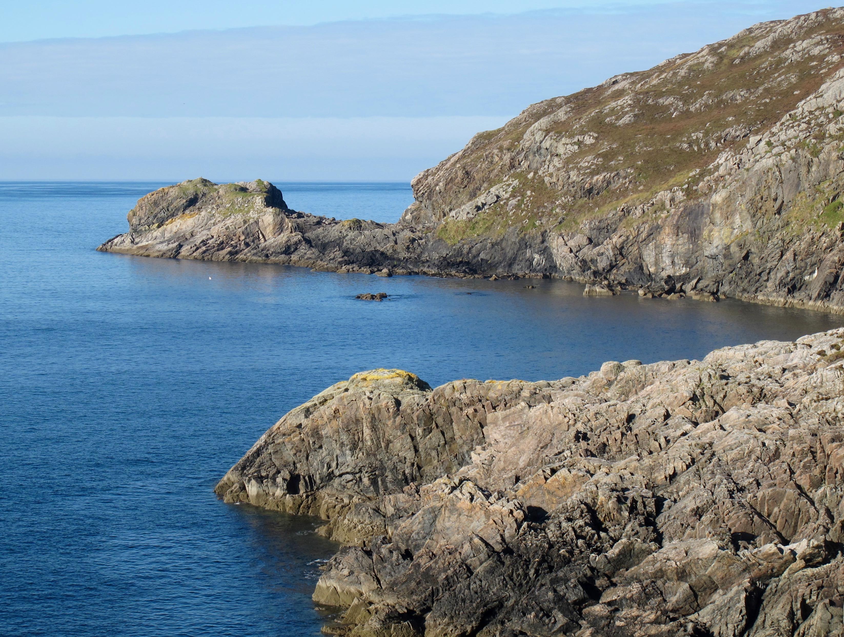
Another view of 'THE' Scourie Dyke - type locality at Craig a' Mhàil, Scourie Bay. The dyke can be seen cutting granulite facies gneisses, which dip at about 30 degrees to the southwest. From Poll Eòrna.
Con Gillen
Oct. 16, 2015
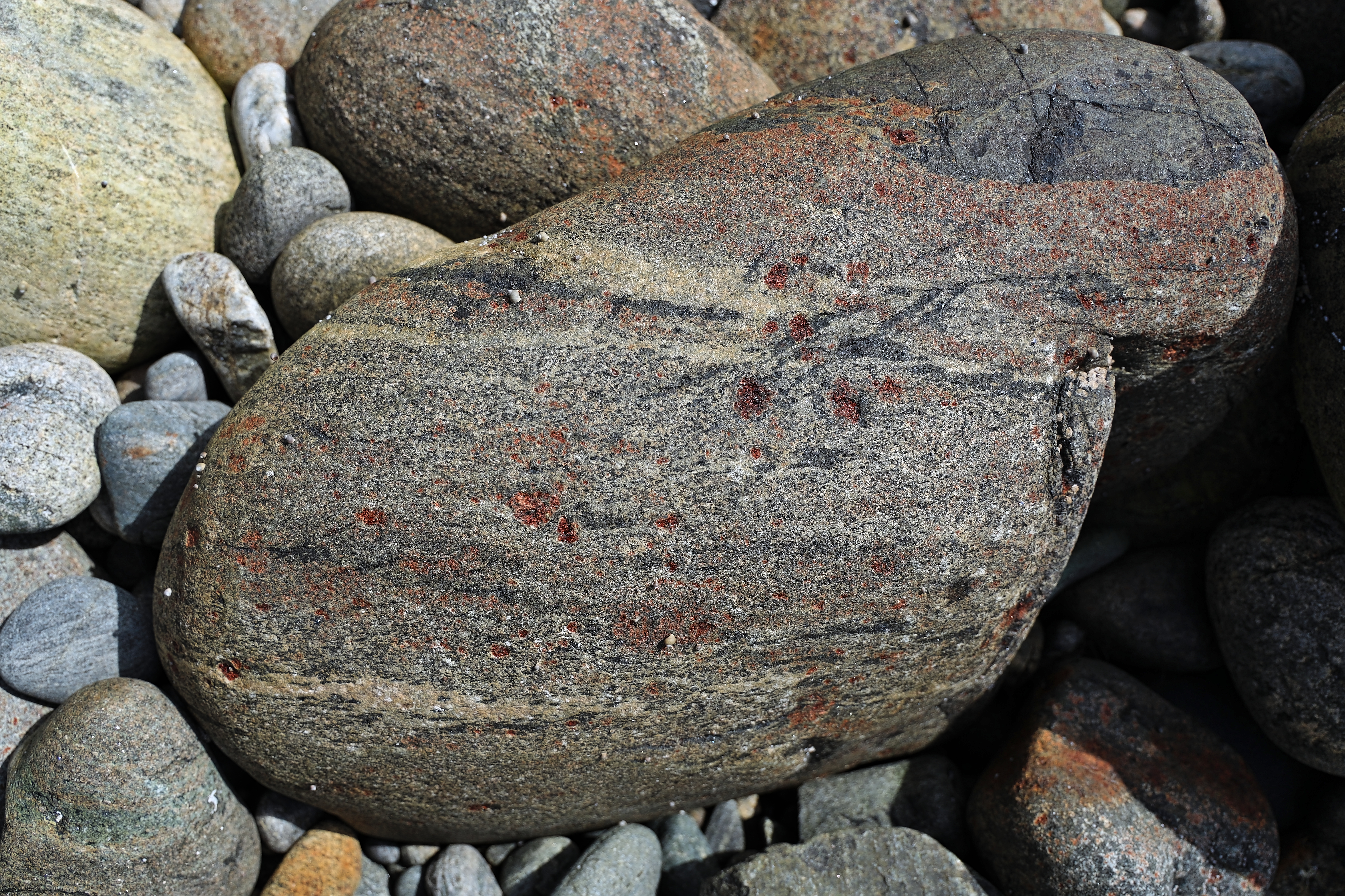
Garnetiferous rock, Poll Eòrna
Alex Gabriel
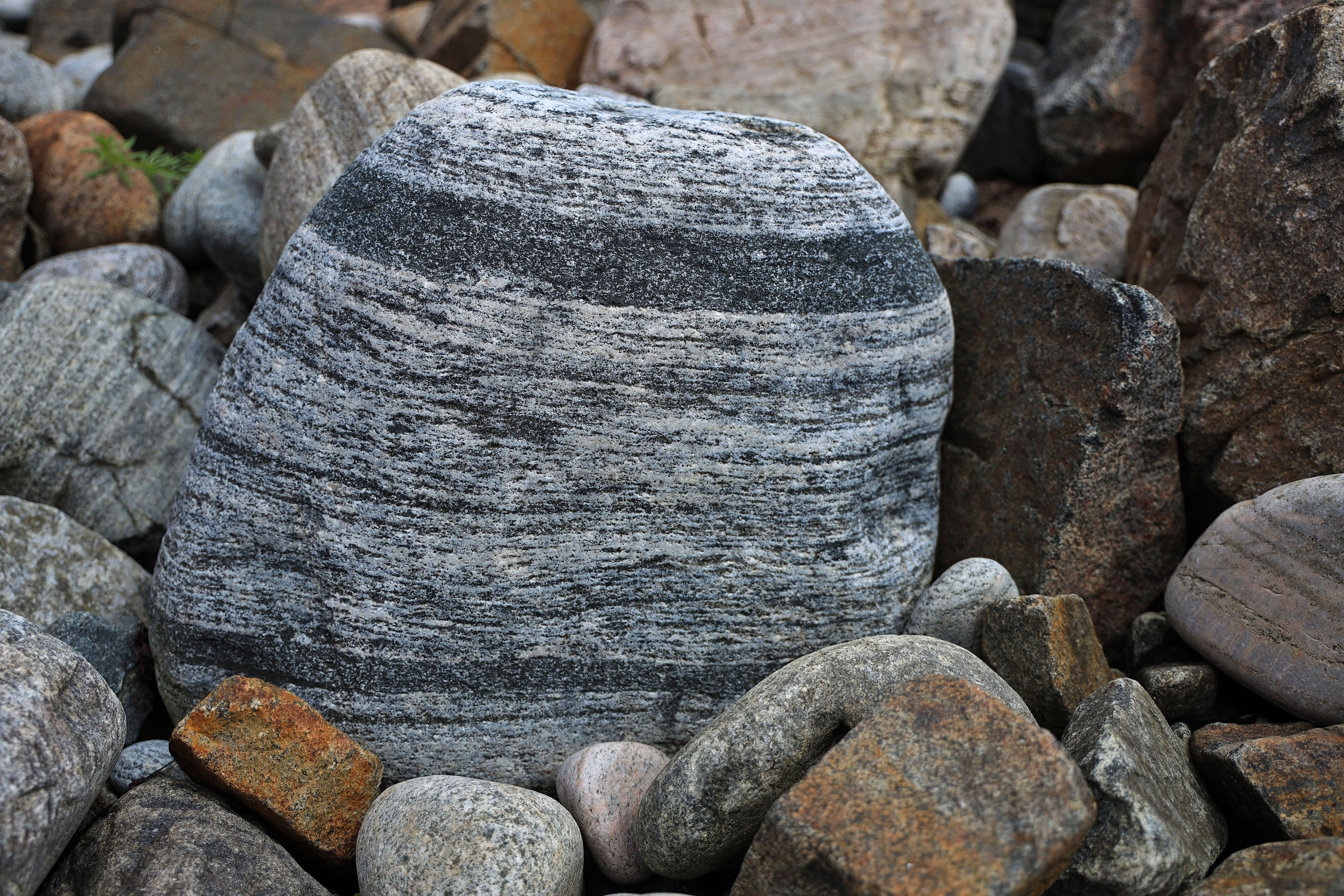
Banded Lewisian Gneiss, Poll Eòrna
Alex Gabriel
Mylonized rock exhibiting bands and boudins, Poll Eòrna
Alex Gabriel
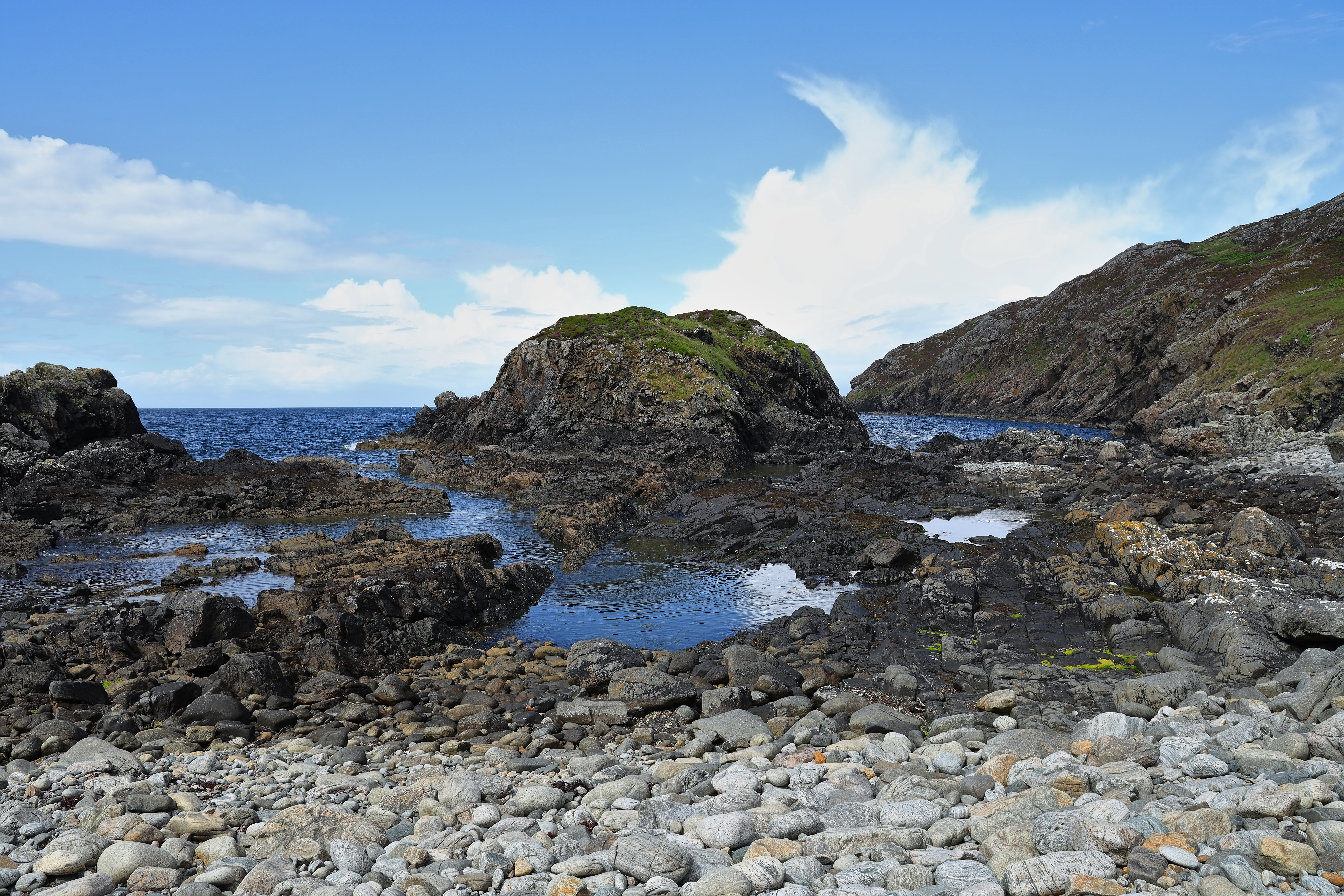
The Scourie Dyke at Poll Eòrna. Northwest view
Alex Gabriel