St Abb's Head
Geological Conservation Review site | GCR #2589 | Geomorphology | Coastal Geomorphology of Scotland
Geological Conservation Review site | GCR #2589 | Geomorphology | Coastal Geomorphology of Scotland
Scotland's geosites are chosen because of their local, national or international importance. Take only photos, leave only footprints: avoid causing any damage to this site. You can walk almost anywhere in Scotland without the need to ask permission or keep to paths, but you have a responsibility to care for your own safety, to respect people's privacy and peace of mind and to cause no damage.
This site is a Site of Special Scientific Interest (SSSI). It is an offence to intentionally or recklessly damage the protected natural features of a SSSI, and this includes unauthorised sample collection.
The right of access does not extend to quarries, building sites or any land where public access is prohibited, or to the collection of geological samples.
The coastal landforms on the cliffs of St Abb’s Head show how weathering and marine erosion has exploited weaknesses in a variety of rock types: greywackes, andesitic lavas, bedded tuffs and volcanic agglomerates.
St Abb's Head provides a good example of rock coast geomorphology on the east coast of Scotland developed in a North Sea wave energy environment. The form of the coastline and cliffs demonstrates close relationships both to rock structural controls and the form of the adjacent topography inland. Important contrasts in coastal detail are also provided between the Lower Old Red Sandstone felsite of the headland and the greywacke and shaley siltstones of Silurian age to the north-west.
There is a National Trust for Scotland car park 500m west of the village (free for NTS members) and several car parks at St Abbs harbour for which there is a charge. There is limited road parking in St Abbs. There are public toilets near the NTS car park and at the harbour. St Abbs Visitor Centre can be found on the road above the harbour.
https://earthwise.bgs.ac.uk/index.php/St._Abb%27s_Head_-_an…
A detailed account of the solid geology by D.C. Greig can be found in ‘ Scottish Borders Geology – an excursion guide’ edited by A.D. McAdam, E.N.K. Clarkson, P. Stone. 1972
https://edinburghgeolsoc.org/downloads/lbgc-leaflet-st-abbs…
An information leaflet for the general public is available from the Edinburgh Geological Society.
Visit St Abb’s Head at your own risk. The sea cliffs are high and steep; grassy slopes may be hazardous in wet and wintry conditions. The rocks in Starney Bay are best seen at low tide.
There are no site highlights yet.

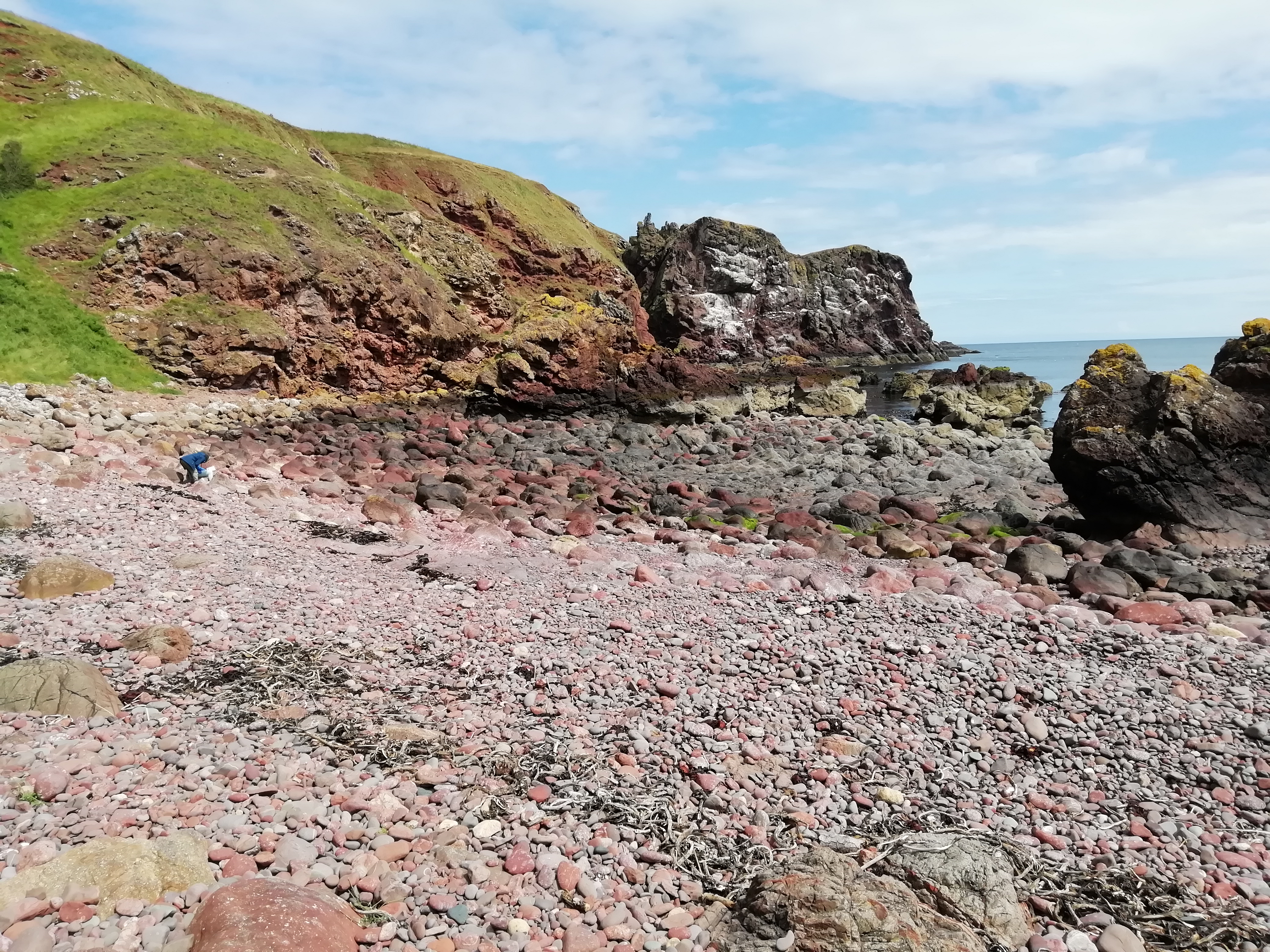
The bird cliff at White Heugh is the most southern exposure of lavas on St Abb’s Head. The deep gully to the left is the St Abb’s Head Fault which separates the Eyemouth Volcanic Series from the Lower Old Red Sandstones conglomerates of Bell Hill, seen at the top of the cliff. Starney Bay, at NT 9165 6775, lies on the boundary of the St Abb’s volcano agglomerate, at the margin of which are highly altered local greywackes, best seen in the pebbles on the beach. July 2023
Alison Tymon

To the right of this view of Cauldron Cove south of the lighthouse, taken from the sea at about NT 9175 6895, is a thick lava flow dipping to the south-east. The grassy slopes in the valley are eroded into layers of bedded tuffs which are exposed at sea-level. On the left, the high crag is another thick lava flow from which there are active rockfalls, with a deep gully eroded along a minor fault. July 2023
Alison Tymon

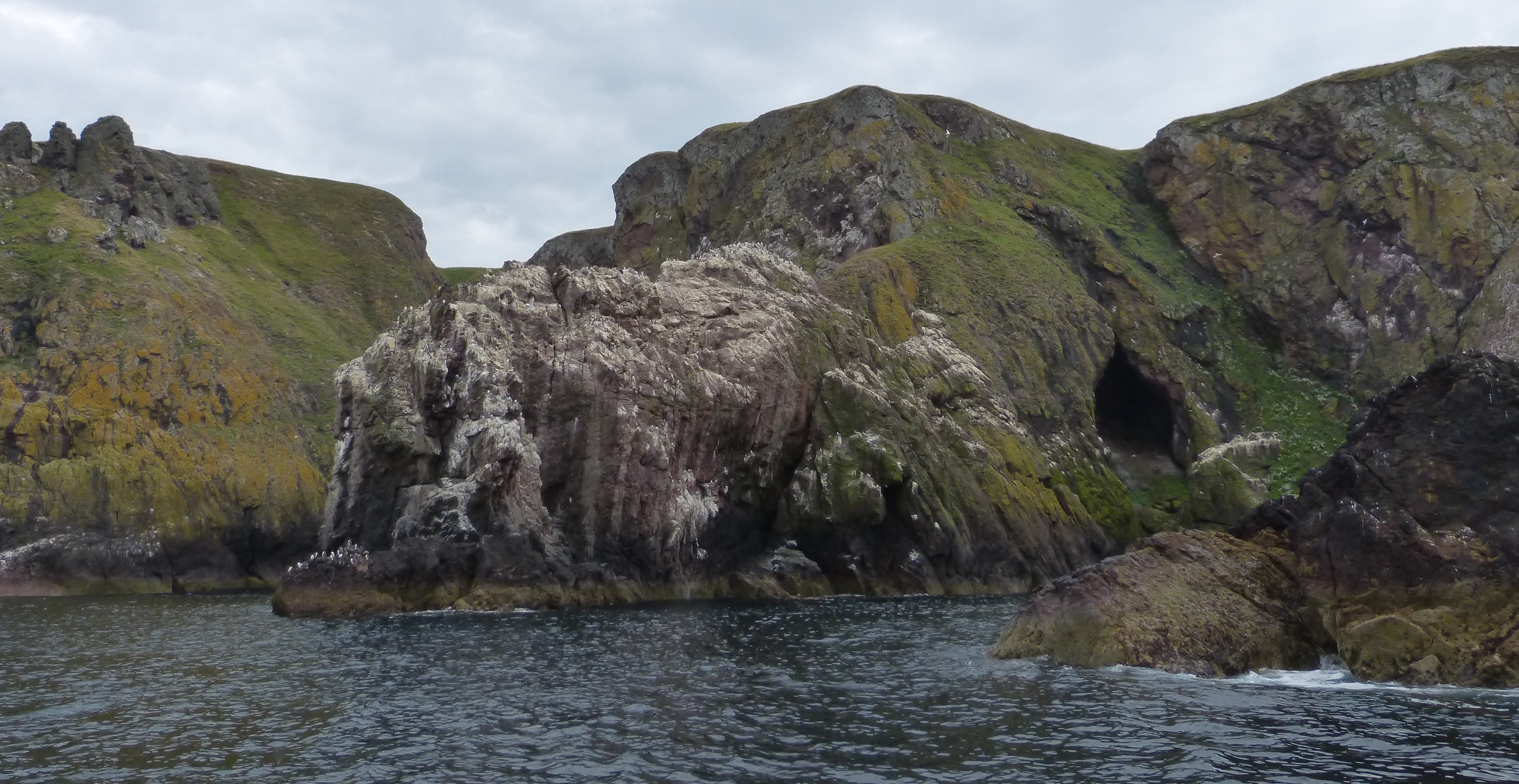
The features of this section of the coast, seen from the sea at about NT 9102 6950, are defined by joints in the andesitic lavas. The cave part of the way up the cliff on the right lies in a gully, probably etched out along a major joint. It is interesting that it lies well above high water mark, so may mark a higher sea-level in the past. To the left of the stack in the centre of the image, which shows columnar jointing in the lavas, is a long inlet eroded along major joints. July 2023
Alison Tymon

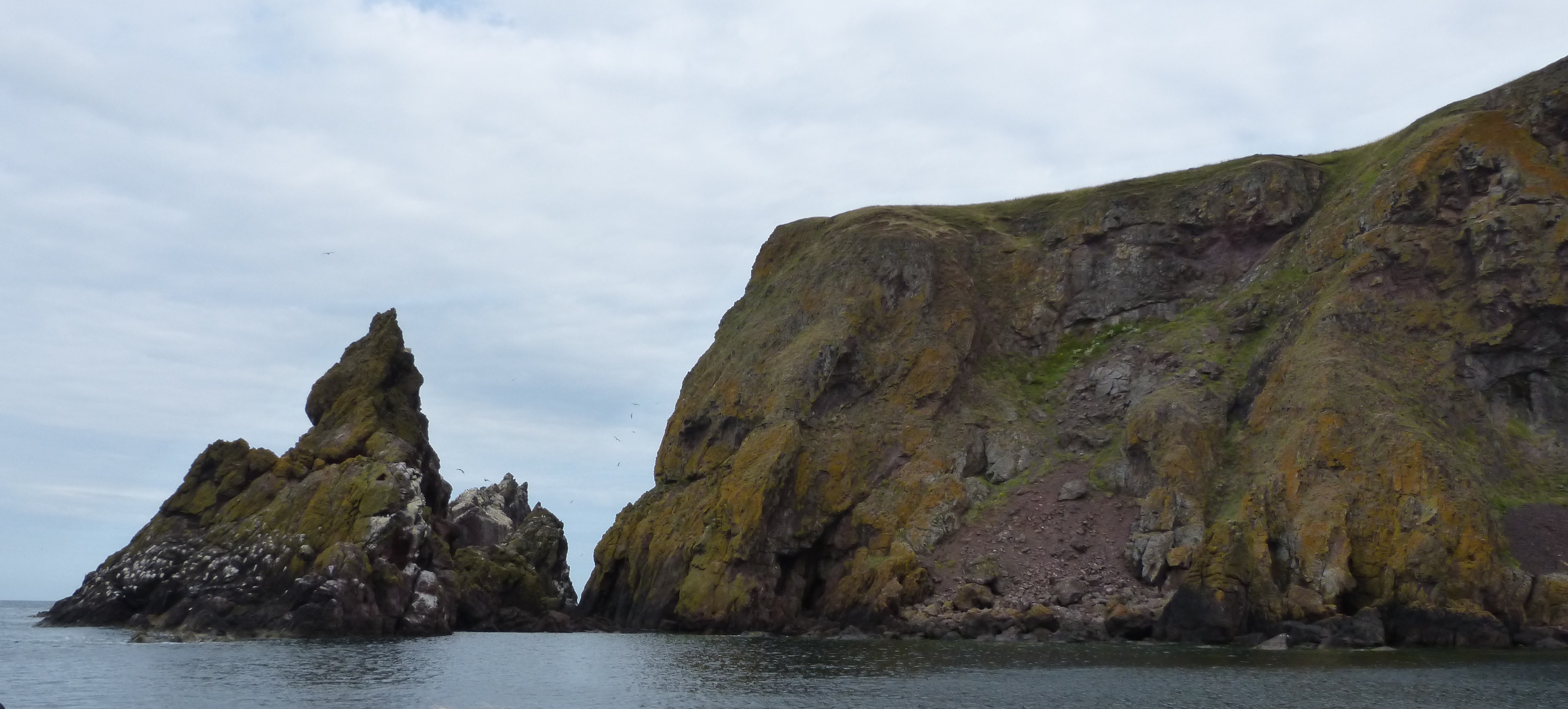
West Hurker, seen here from the sea at about NT 9076 6940, is a stack off the north-west point of St Abb’s Head, its shape defined by joint patterns in the andesitic lavas of the early Devonian Eyemouth Volcanic Formation. An active scree slope has developed below a massive lava flow at the top of the cliff. July 2023
Alison Tymon

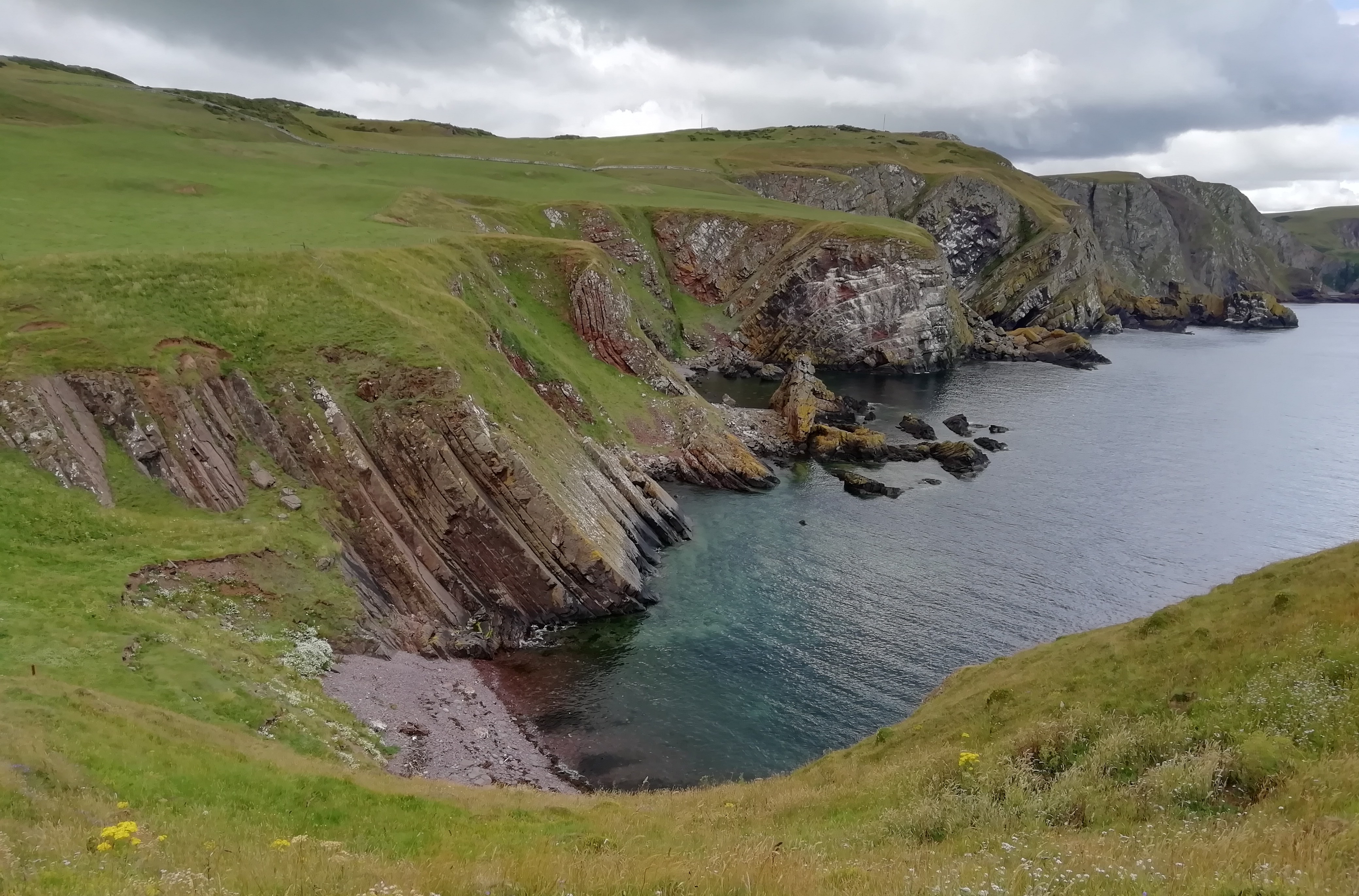
The spectacular cliffs between Pettico Wick and Siccar Point to the west expose Silurian greywackes folded into synclines and anticlines, with steep limbs and acute hinges which are preferentially eroded by waves into gullies and coves. The St Abb’s Head Fault reaches the coast at Pettico Wick and the head of the cove, seen from NT 9083 6912, is filled with glacial till, resulting in rotational landslips as the base of the slope is eroded at high tides. July 2023
Alison Tymon