Allars Mill, Jedburgh
Local Geodiversity site | Scottish Borders
Local Geodiversity site | Scottish Borders
Scotland's geosites are chosen because of their local, national or international importance. Take only photos, leave only footprints: avoid causing any damage to this site. You can walk almost anywhere in Scotland without the need to ask permission or keep to paths, but you have a responsibility to care for your own safety, to respect people's privacy and peace of mind and to cause no damage.
The right of access does not extend to quarries, building sites or any land where public access is prohibited, or to the collection of geological samples.
An unconformity between Silurian greywackes and Upper Old Red Sandstone beds is found on a river cliff above the Jed Water. While the site is degraded by scree and vegetation cover, it is a classic site in the history of geological ideas, having been visited and described by James Hutton.
The famous Allars Mill unconformity between Upper Old Red Sandstone (Stratheden and Inverclyde Groups – undifferentiated) and underlying Silurian greywackes can be found 0.5 km south of the centre of Jedburgh next to the Jed Water. The river cliff lies below the A68. While it is now somewhat covered by slipped material so that the line of the unconformity cannot be seen, Sir John Clerk made a drawing at the time reproduced in the account by McAdam, A.D., Clarkson, E.N.K. & Stone, P., 1993 (see reference below) which explains the geology of the site.
At present, about 2 m of bedded Upper Old Red Sandstone mudstones and siltstones can be seen at the top of the river cliff below the road and exposures of red silts and clays, mostly covered by vegetation, can be seen for some metres below that, although the lower areas could be slumped soil and mud. Greywackes, probably belonging to the Hawick Group (Silurian: Llandovery-Wenlock), can be seen in the river bed upstream for some distance from the bridge which gives access to Allars Mill. At the unconformity site they extend to at least 4 m above the river bed. Structures cannot be distinguished clearly as the exposures are largely covered with branches and ivy, but at river level the greywackes appear to be near-vertical and have thin to medium-bedding. There is no sign in the cliff of the greywacke breccia which Clerk shows as lying between the vertical bedding and the overlying red mudstones and siltstones.
Access for vehicles is via a lane from the A68 into Allars Mill, where there is extensive parking next to the Jedburgh Bowling Club clubhouse. The unconformity is about 100 m upstream from the bridge where there is access to the shingle beach opposite the river cliff. Alternative access on foot is from the main car park for Jedburgh Abbey, where a footpath along the river through Lothian Park leads south to Allars Mill.
https://earthwise.bgs.ac.uk/index.php/Jedburgh_-_Melrose_-_…
McAdam, A.D., Clarkson, E.N.K. & Stone, P. 1993 Scottish Borders Geology: an excursion guide pp. 96-97
There are no safety notes yet.
There are no site highlights yet.
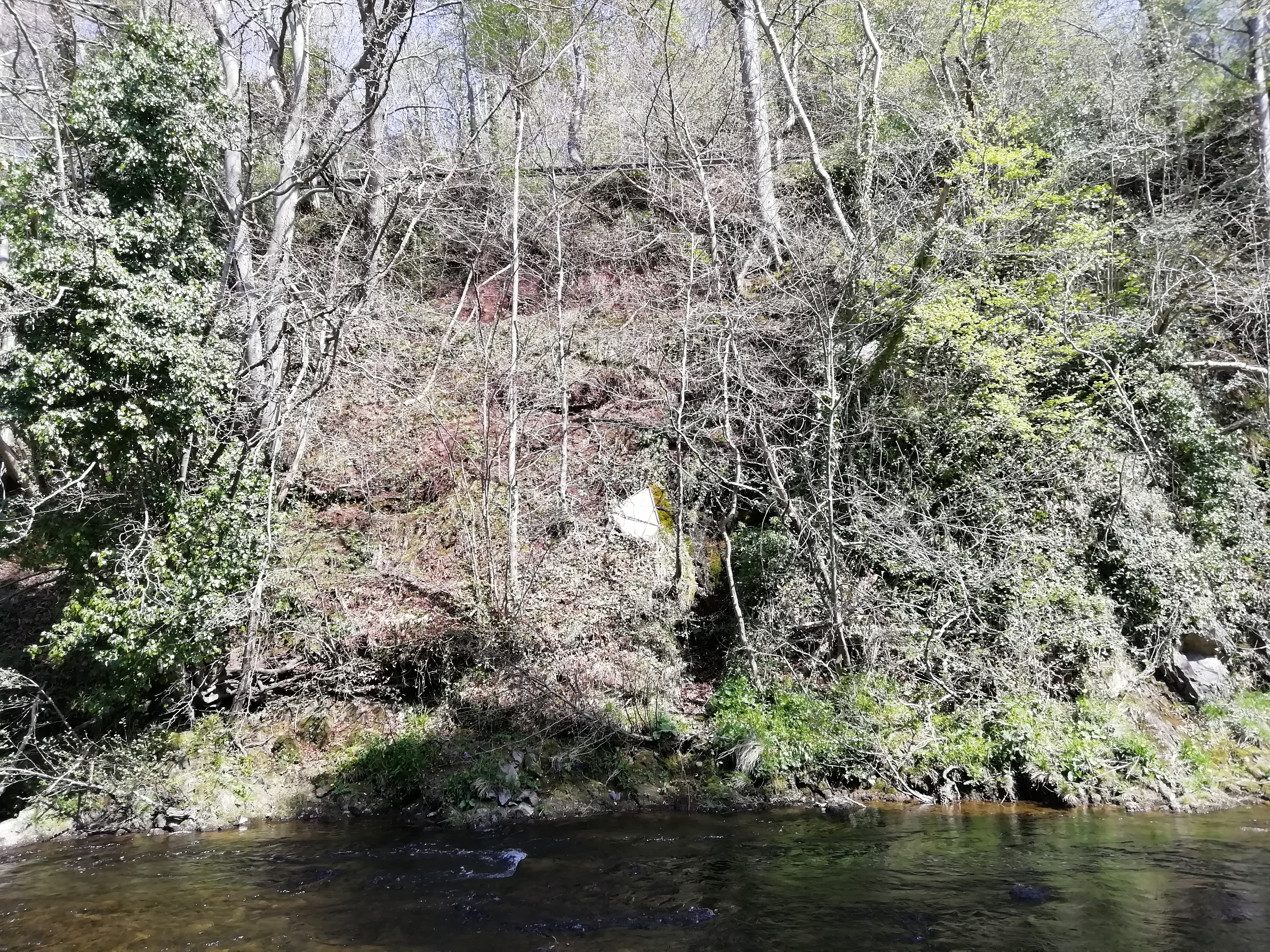
Jed Water river cliff, with the A68 beyond the fence at the top. The red rocks of the Upper Old Red Sandstone can be seen at the top of the cliff, just below the fence. Grey/green Silurian greywackes can be seen in the lower section of the cliff and the river bed, though covered with vegetation in places. The unconformity is about half way up the cliff, with a breccia between the two rock types, now all obscured.
Alison Tymon
April 21, 2019
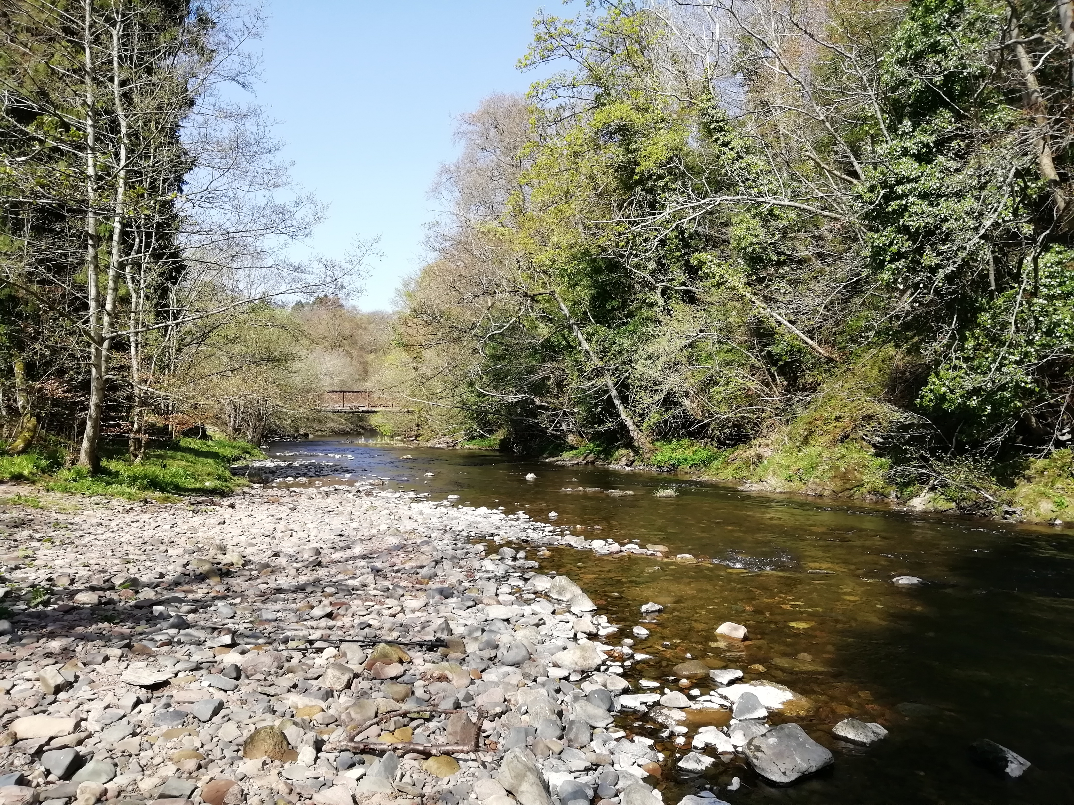
View downstream from opposite the exposed river cliff, towards the bridge over the Jed Water which leads to Allars Mill.
Alison Tymon
Feb. 22, 2019